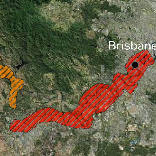
Queensland Floods geocoded images
18 Jun 2014

18 Jun 2014

1000+ Fly-by Hi-definition GPS referenced oblique imagery in Shapefile/KML.
Date: 2011
Area: Geocoded images showing flood peak for specific facilities in ArcGIS and Google Earth format
Data source: ecityrisk | ImageCat
Samples:
Sample PDF download (4.2mb)
Contact us to buy this dataset